April 13th (part 2): Funnel Cloud and Wall Cloud, New Forest
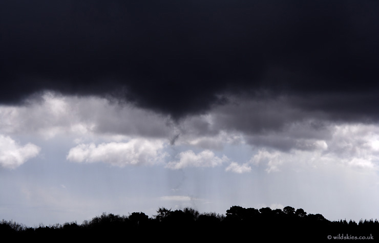
The first funnel tore itself apart after just 3 minutes, but about 5 minutes later another ragged funnel formed in the same area. This time, the condensation funnel went right down to tree height, so its possible it could have touched down as a weak tornado:
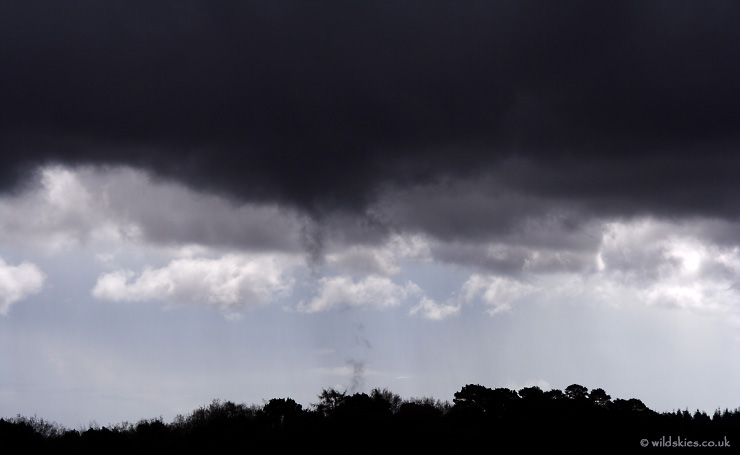
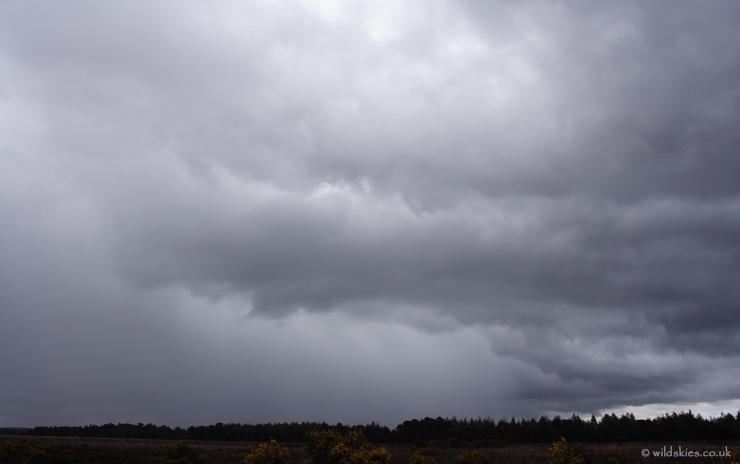
This one lasted another 3 minutes before retreating back into the cloudbase:
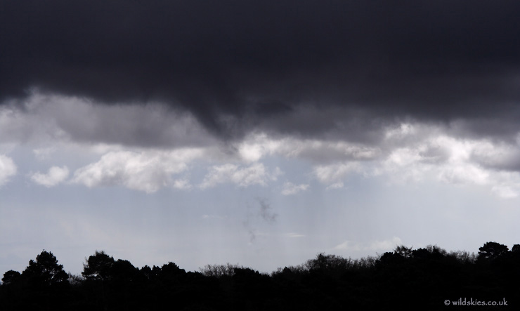
We now had to pick up the walking speed as the car was still over a mile away with this storm approaching from the west:
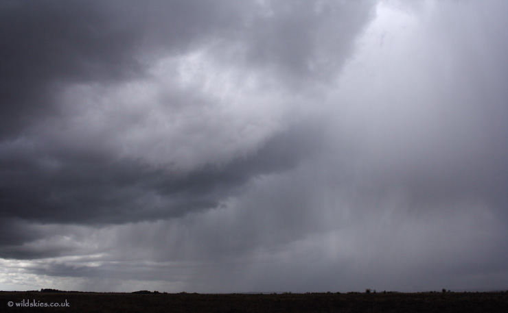
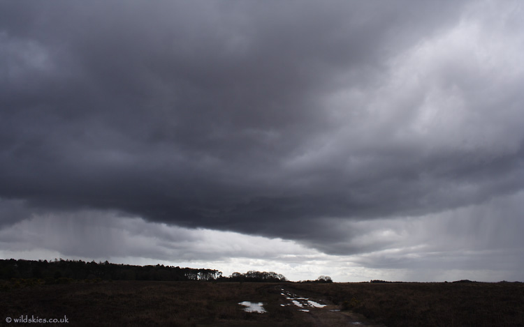
Looking back at the cell that had just produced the funnels, it still looked black with areas of rotation visible. Rain was now starting to fall to the left of the image:
A few yards from the car, the same cell produced a small, but well-defined wall cloud. Rotation was clear and a few very small 'micro-funnels' formed on its edge:
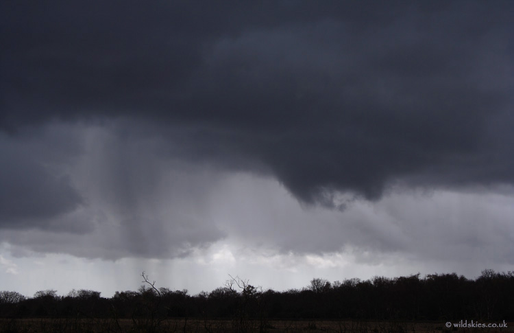
At this point sporadic 1cm hail began to fall which was as solid as gravel and bounced into the air on impact.
Back to the car at last, I got a better view of the cell about 30 minutes later. It now had a strong hail core and brought a major motorway to a halt for a few hours as numerous accidents occurred in heavy hail:
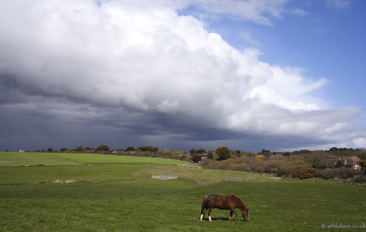
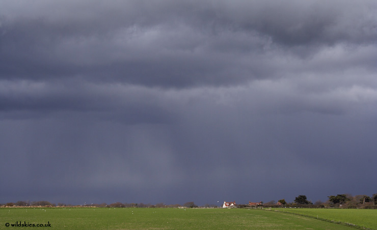
Finally a shot about 30 minutes later as I managed to get to the coast and into clear sky. The storm had created an outflow boundary and a new set of storms formed, arcing out in a semi-circle:
In part 3, I encounter the hailfall that casued the trouble back in the Forest.